
Best Time to Visit Siargao
Choose a Siargao travel window by weather tolerance, surf goals, crowd sensitivity, and disruption risk—not one magic month.
- Written by
- Ask Siargao Editorial Desk · Planning research and guide writing
- Reviewed by
- Ask Siargao Local Knowledge Review · Local planning, caveat, and safety review
Quick recommendation
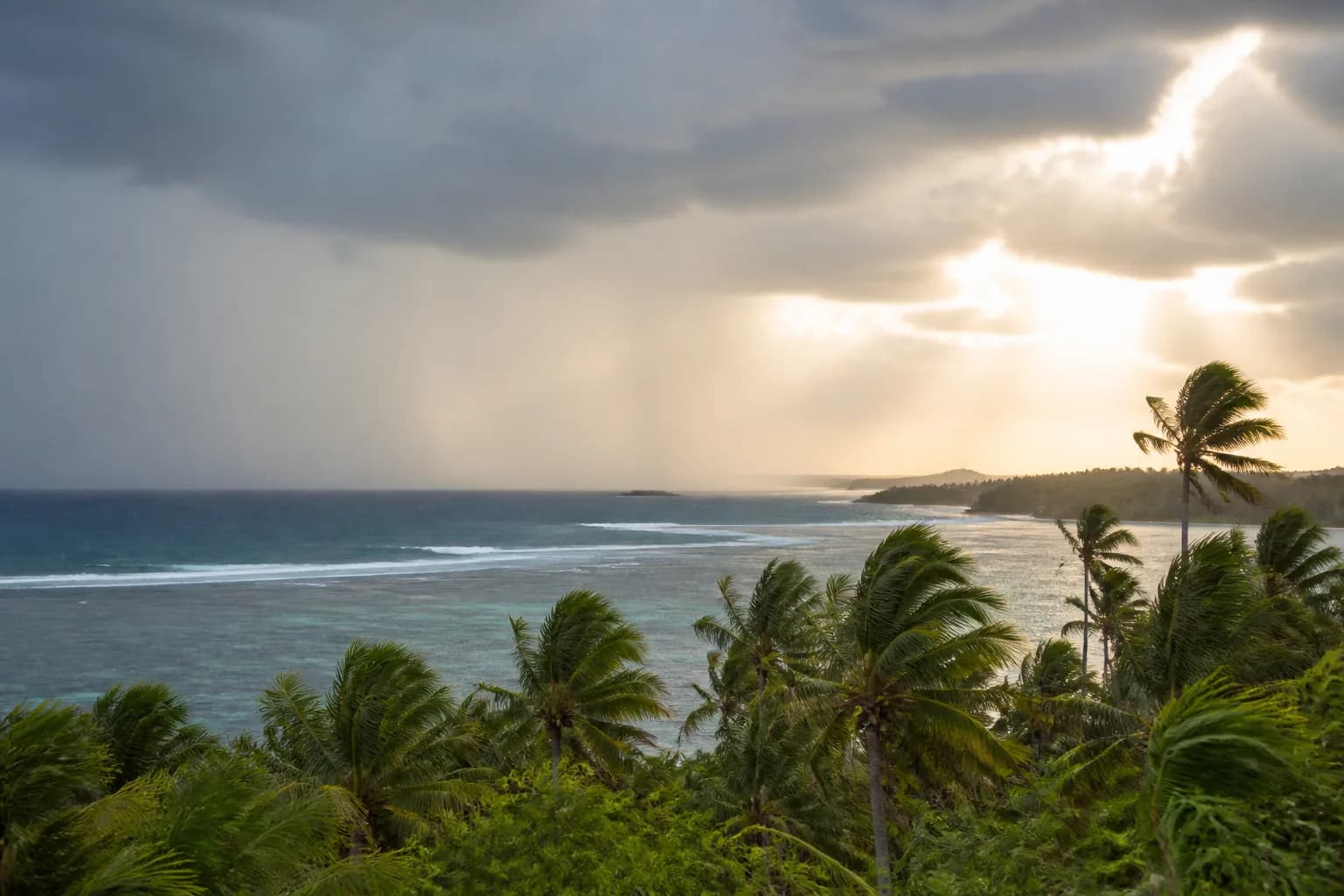
There is no guaranteed best month. For a general first trip, May or June is the strongest starting point from the nearest official rainfall baseline: Surigao City’s 1991–2020 normals are much lower then than in November to February. The station is not on Siargao, so check a current island forecast and keep condition-sensitive days movable.
Match the window to the traveler
Use this as a decision frame, then check current conditions.
| Priority | Favor | Accept |
|---|---|---|
| Lower-rainfall first trip | May–June starting point | Heat, local variation, and no rain guarantee |
| Surf-led trip | Break- and ability-specific season | Condition checks and local safety judgment |
| Value and flexibility | Availability-led dates | Stronger live checks and changeable bookings |
Choose by priority
The calendar matters less than the trip’s dominant need.
General sightseeing
Start with May or June for a lower-rainfall climatological baseline, but keep boat and outdoor days movable because Siargao can differ from the nearby station.
Surf-led travel
Choose the break, ability level, and coaching plan first; a famous swell season is not automatically the right beginner window.
Lower pressure
A quieter or wetter period can still work when accommodation flexibility, indoor fallbacks, and disruption tolerance are high.
What the seasonal labels miss
National seasons are context, not a Siargao guarantee.
National labels are a poor local shortcut
PAGASA describes December to May as broadly dry nationally, yet the nearest 1991–2020 station normals are wettest in December and January and lowest from May to August.
Rain does not mean a lost day
Tropical rain may be brief, local, or persistent. The useful question is whether roads, boats, surf, and visibility support the specific plan.
Cyclone season changes risk, not certainty
PAGASA’s national peak context is a reason for stronger fallbacks, not a prediction that a particular trip will be hit.
Book the right parts early
Commit the scarce pieces and leave condition-sensitive pieces movable.
Book
Flights, a suitable base, holiday-period rooms, and essential first and last transfers.
Confirm close to travel
Boat operations, surf lessons, tide-dependent timing, road conditions, and current forecasts.
Carry a fallback
One land-led day, one local rest day, and enough schedule margin to move an anchor activity.
Travel planning
Realistic travel-time guide
These are planning ranges, not live traffic estimates. Use the longer end for a timed boat, flight, or ferry connection.
Sayak Airport General Luna
Shared vans may wait for passengers; rain and stops can stretch the transfer.
45–60 min
Dapa Port General Luna
Allow extra time to disembark, collect bags, and find the arranged driver.
30–45 min
Central General Luna Cloud 9
Tourism Road traffic and exact pickup position matter more than map distance.
10–20 min
Planning map
Schematic · not to scale
Turn the guide into today’s decision
The static plan stays complete. Ask Siargao adds current weather, tide, transport, and your real constraints when you explicitly submit a Reality Check.
Sources and limitations
Stable guidance is separated from facts that require a current check. Sources are linked directly; their presence does not turn a seasonal pattern into a live forecast.
- This guide does not confirm live weather, sea state, tide windows, operator schedules, prices, closures, or availability.
- Travel-time ranges are planning estimates. Confirm the pickup point and same-day conditions before a timed connection.
Editorial method
We separate durable planning advice from changeable facts, prefer primary public sources, and expose the caveats that can change the decision.
Corrections policy
Material errors are reviewed against a source, corrected in the guide, and reflected in the checked date. Unverified chat reports are not silently published.
Commercial disclosure
This guide contains no paid placement, affiliate booking link, or operator endorsement.
Frequently asked questions
Do I need a scooter for this plan?
No, but you should cluster activities by area and arrange longer transfers ahead. Tricycles and vans can cover many trips; availability, price, and pickup reliability still need current confirmation.
Can I lock the itinerary before I arrive?
Lock accommodation and essential transfers, then keep at least one outdoor day movable. Weather, sea state, tide timing, and operator schedules can make a good sequence wrong on a specific day.
Are these travel times guaranteed?
No. They are conservative planning ranges, not live route estimates. Add margin for rain, road works, shared-van stops, boat assembly, and airport or port queues.